On July 1st, 2017, I attempted a supported thru-run of the New York section of the Appalachian Trail in hopes of recording the fastest known time (which was not currently set). The route runs approximately 88 miles from Sherman CT, to the NY/NJ state line in Greenwood Lake NY. Last year, I had set the FKT for the new Jersey section of the AT, 74-ish miles spanning from the Delaware Water Gap to Greenwood Lake. My training had been going well, and other than a badly rolled ankle, I was feeling optimistic about the run.
 |
| The camera adds 15 lbs of muscle apparently (Photo cred: Elizabeth) |
Start to Route 22 - 7.5 Miles
After sleeping in the RV near the CT/NY border, Steve and I embarked at exactly 4:00 AM. The weather was warm and humid, and we were soaked within minutes. The first two miles brought us up to the Hammersly Ridge, combining for roughly 800 feet of gain. We were hoping to keep the pace to about 11:15/mile, and were not off to a good start. Once on the ridge we were able to run consistently, and get back on track to our goal. We passed several multi-day hiker tents and hammocks through this section, and we did our best not to scare anyone. After about 5 miles, the trail descended, eventually opening up into a wide field. It was bright enough to turn off our headlamps as we navigated through the uneven grass. In high spirits, we spotted the crew in the RV at Rt. 22 and arrived 5 minutes ahead of schedule, thanks to the distance being slightly shorter than expected.
 |
| Steve and I at 'the view' |
Route 22 to Old Route 52 - 7.2 Miles
I took as many calories as I could stomach and we were out of the aid station at exactly 5:25 AM. Steve and I continued across the Appalachian Trail train-stop and onto a well-constructed boardwalk section of trail for the next half-mile or so. From there the trail dipped back into the woods and up a relatively small climb. On the other side we once again emerged into another field, this time skirting the outside, and were surprised by a huge brown cow just off the trail. At first glance Steve and I both thought it was a bear. Fully awake now, we trotted down to the Dover Oak, the largest white oak tree on the Appalachian Trail. Impossible to miss, I'd seen it for the first time in a training run a week earlier.
 |
| Steve blocking the biggest white oak on the AT |
We quickly snatched a photo, and made our way across West Dover Road, and up West Mountain. After a difficult climb, we were rewarded with a beautiful sunrise at 'the view'. The next bit of trail was easier, with long steady descents and short rolling climbs. We made up some of the time we'd lost from the climb, and shortly arrived at Nuclear Lake. As we made our way around the lake it became apparent that we would be a few minutes late to the crew station. As we approached Rt. 55, the trail ventures off the documented path, presumably a newer section of the AT (this section is not updated on Google Maps, but is correct on Strava). Shortly after crossing Rt. 52 we spotted Andy taking pictures and found the RV shortly thereafter.
 |
| Coming up on Aid Station #2 (photo cred: Andy) |
Old Rt. 52 to Hosner Mountain Road - 7.5 Miles
We arrived about 10 minutes behind the target time (arriving at 7:00 AM) but were in good spirits and confident that we could make some of the time up in the next section. I was feeling very warm so Elizabeth put ice down my shirt and in my pockets to help offset the heat. I stayed on top of my nutrition well at this station also, though that led to a longer stop than I would have liked. Steve and I exited the station knowing that after these 7 miles we would be welcoming friends Andy and Eric to the pacing duties and would be running as a 4-pack for the next section. We ran out of the station, but our pace was interrupted by a huge technical ascent less than a quarter mile from the aid stop. As we made our way up what I concluded to be Mt. Egbert, we saw our first hiker of the day traveling down the mountain, followed closely by 3 or 4 others. We exchanged pleasantries as they yielded the trail to us. This climb was difficult and mentally draining, and I found myself frustrated that my legs were heavy this early on. Steve informed me that we were almost at 4,000 ft of gain at the top of the mountain.
 |
| The view from the top of Mt. Egbert (I think) |
The backside was relatively runnable but with my legs feeling weary and my heart rate elevated, we didn't move through as quickly as I would have liked. I also forgot to eat a gel during this section which didn't help matters. After following along the ridge, we made our way down to Mountain Top Road and across I-84. I was able to open my stride a bit on the road and picked up the pace to about a 9:00/mile. But soon we were back on the trail and climbing again. Luckily, this was short-lived, and the trail began to descent once again, this time to Rt. 55. This next section is also out-of-date on Google (though it is correct on Strava). The trail jumps directly across Rt. 55 here, instead of traveling down Rt. 55 and through the backroads. The correct trail converges with the out-of-date route at Hosner Mountain Road, our next aid station. Andy and Eric had backtracked toward us and caught us about a half mile before the aid station. They're energy helped us groove through the last half-mile effortlessly, and soon we were at our next stop.
 |
| "What do you mean there's 60 miles left?" (Photo cred: Andy) |
Hosner Mountain Road to Hortontown Road - 3.5 Miles
I was overheating and needed other load of ice in my shirt. I ate some bacon and smoothie while the crew refilled my gels and water bottles, and did my best to force calories down. As we left, I grabbed a coconut ice-pop out for some extra fuel. The next section started with another steep, technical climb, which gave me a chance to digest a bit. I was having serious trouble climbing, but felt like I could still run well on the flats. The problem was that flat sections were scarce, so we were force into a long slow grind.
 |
| Best picture of the day |
As we made our way down the backside of one of the climbs, I badly rolled my already-weak ankle. We stopped for a moment to assess the damage, and after walking for a minute or so, I was able to run again. Crisis averted. We crossed underneath the Taconic Parkway and heading into the next aid stop. This portion of the trail was closed, with signs indicating a detour via the road, which is where our crew was located.
 |
| Even the camera was sweating |
Hortontown Road to Cold Spring Turnpike - 6.6 Miles
I don't remember this station too well but I remember trying to eat some PB&J and dousing myself in water and ice. We were entering the heat of the day and the next section was a long 6.5 miles. This would be Steve's final section. He couldn't have done a better job carrying me through the first few legs of the run and continued to shout encouragement all day. We finally left the aid station in a trot back to the trail again near the RPH Shelter. I wish we could have stopped to peak in, but we were short on time and in a good groove (for once). The pace was again short-lived, and we were soon climbing up Shenandoah Mountain. We continued to meander through the ridge, and soon found the best view of the day at the 9/11 memorial. After a quick picture we continued on, nearing the northern tip of Canopus Lake.
 |
| This pose hurt just as bad as the climb up |
 |
| Andy not understanding why we keep stopping for pictures |
Up to this point, the previous 15 or so miles were completely new to me, and though I enjoyed the fresh trail, I was anxious to get back on familiar territory. The hike down to the lake was technical and slow, and I could feel it wearing on my legs. Finally I recognized a spot I had turned around during one of my training runs, and was able to navigate the terrain a bit better. After another short climb we hit a gravel path that would lead us to Cold Spring Turnpike, where our crew was waiting.
 |
| Northern side of Canopus Lake |
Cold Spring Turnpike to S Highland Road - 6.2 Miles
Before I even entered the aid station I dipped off the Appalachian through the woods and immersed myself in the cool water of Lake Canopus. I laid there for about 10 minutes, with only my feet out of the water, and thought about how the day was unfolding. I slowly made my way to the crew, where the team was ready to fuel me up again. I was able to stomach a bit of Ramen which helped my salt levels. Steve wish us luck as Andy, Eric, and I departed. The next mile or two I had run previously and knew it was mostly flat. We were able to get the legs moving here with Andy in front and Eric and I following 10 or 15 yards behind. About a mile beyond the aid station I took my only fall of the day (on one of the least technical section we'd run). After collecting myself, we continued on, and soon made our way across Sunken Mine Road and again into new territory. We trekked up the next big climb and I hit another low point. I stopped to tie my shoe and let Eric and Andy get away from me a bit, giving myself time to reevaluate. I wasn't feeling horrible, but I was moving very slowly on the hills. I jogged back up to the group and we were able to run again. The humidity had been unbearable to this point, but shortly after crossing Deckerstown Road it began raining. My spirits lifted and we were able to move a bit better and we inched closer to the aid station. Eventually, we staggered onto an old A/V trail that would lead us to the next aid stop about a half mile later.
It was still raining when we arrived at the station. I thanked Andy and Eric and they quickly jumped in Andy's truck and headed out. This next section would be the only solo section of the day. Elizabeth informed me that the refrigerator was not working well so my choices were limited (and I would have to wait for another ice pop until we hit the Appalachian Market. I did my best to be in and out of this station quickly, I knew I was still about an hour ahead of the 24-hour pace time. I thanked them and ventured back into the woods, this time alone.
S Highland Road to Route 403 - 5.7 Miles
The first part of this section was very runnable and I found myself feeling the best I had felt in about 20 miles. I hike my way up some small rolling hills and continued to run. I felt optimistic about making some time back, and that hopefully the worst of the climbing was behind me. Unfortunately, the moment was short-lived. Before I knew it, I was on my way up Canopus Hill, a steep 400-ft climb. The hill sucked the life out of my legs and for the first time of the day, I stopped half-way up to rest and get my heart rate under control. I stayed there for about 5 minutes before pressing on, slightly refreshed but still exhausted.
 |
| When in doubt, go up |
 |
| Not pictured: an sort of trail |
The next section was technical and I was having a difficult time catching my breath. I crossed Old Albany Post Road and encountered my only snake of the day, a small (maybe 18") garter snake in the middle of the trail, which scurried away as I approached. The next climb up was Fort Defiance Hill which also required a break part of the way up. It was at this point that I was concerned I would not be able to hit the 24-hour goal, which I didn't think would be an issue. I made it to the top of Denning Hill next, only stopping to take a photo at the overlook. I thought about how the entire day unfolded, what mistakes I made, and for the first time I thought about dropping.
 |
| Contemplating life |
I was mentally crushed but I could not will myself to go through another section. Elizabeth and her parents, my mom and little brother were all waiting for me a few miles ahead. As I made my way back down, I developed a nosebleed, which only confirmed my decision to stop. After a few downhill miles of on/off walking and running, I emerged from the woods at the Appalachian Market, my final checkpoint.
My biggest regret of the day was not allowing my afternoon and nighttime pacers to be a part of this event. By quitting early, I felt like I stole the opportunity for them to experience the trail in the way we had set out to. I know now that I could have continued on for another section or two, but finishing in under 24-hours was not possible for me this year. I have already made up my mind that I will be back next year for another attempt, traveling the same direction. The goal will remain to finish in under 24 hours. Thank you to everyone who paced and crewed me. Elizabeth and her mom tended to my every need and were absolutely exceptional, as usual. Steve was pacing me for the 2nd time and did a wonderful job keeping me in check and keeping my mind focused. Andy and Eric were phenomenal in keeping me moving and eating, despite my resistance toward the end of the day. Thank you all from the bottom of my heart. And also thank you to those that sacrificed their time to pace me after I dropped. Mom, Kevin, Matt, Dave, thank you for lending your time to this event and I promise we will run those sections together at some point.
 |
| A picture that encapsulates the day pretty well |
Strava:
https://www.strava.com/activities/1064274475
Gear:
Ultimate Direction AK 3.0 Hydration Pack
HOKA One One Challenger ATR 2
BONUS PICTURES:
 |
| My foot a few days before the event |
 |
| Field just before Dover Oak (I think) |
 |
| Appalachian Trail train stop |
 |
| Early morning picture of 'the view' |
 |
| Not sure exactly where this was |
 |
| View from the 9/11 memorial rock |
 |
| Tree |
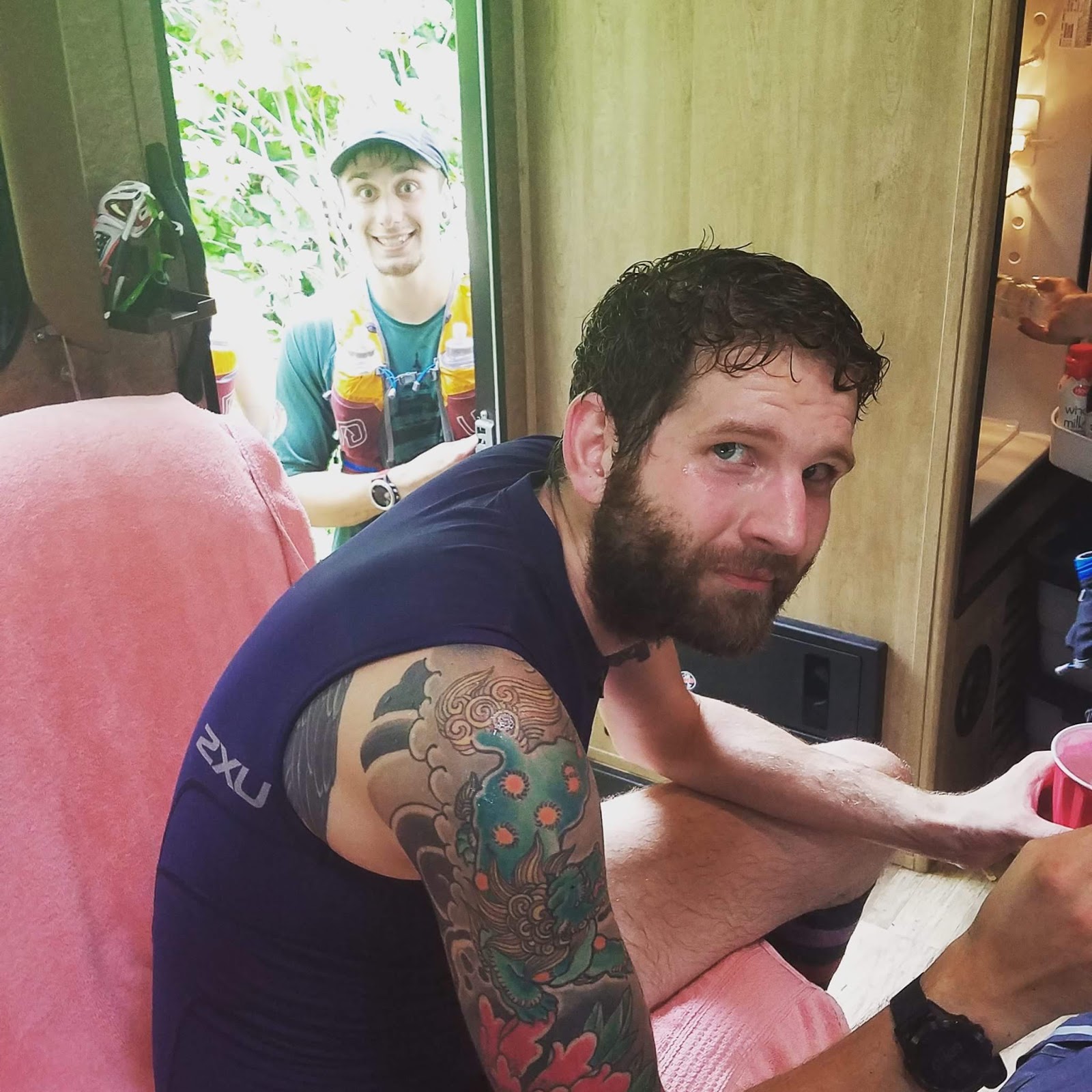
 |
| In good spirits during the first aid station (Photo cred: Andy) |
 |
| One of the last uphills of the day |


No comments:
Post a Comment